

-To Boost Forest Monitoring in Liberia
By Vaye A. Lepolu
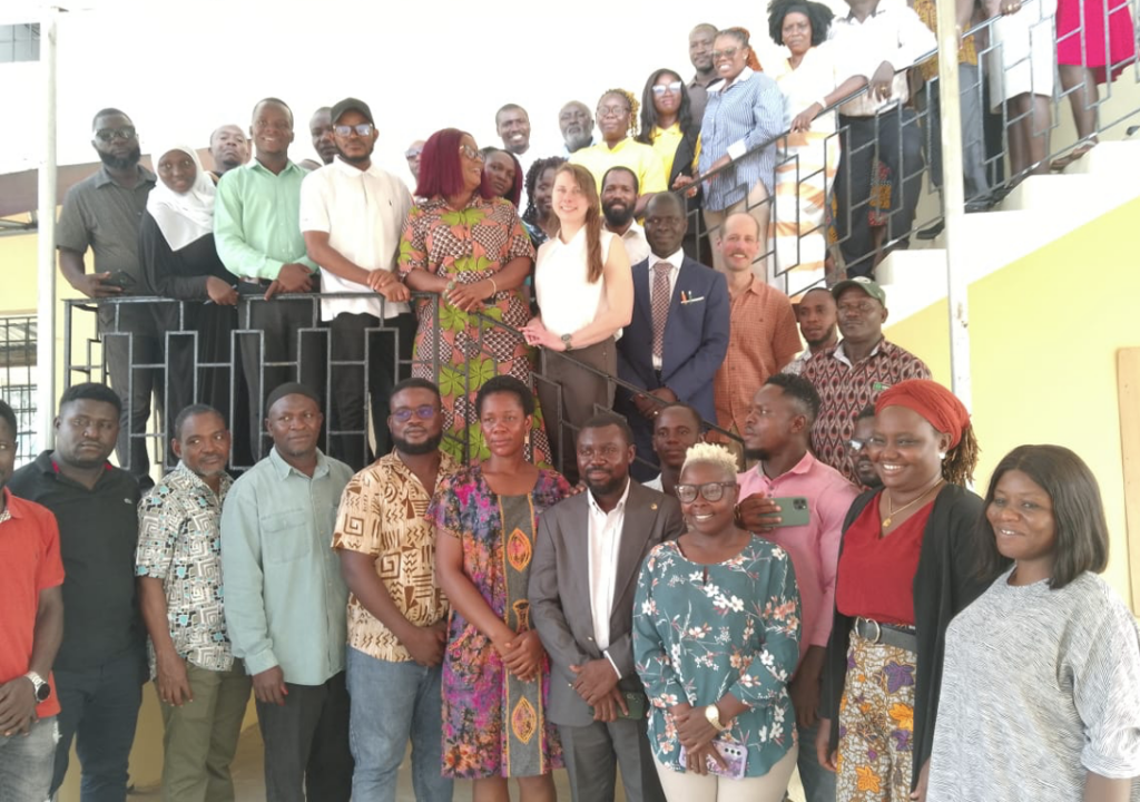
Monrovia – The Environmental Protection Agency (EPA) of Liberia, in collaboration with Novasphere and supported by the Government of Canada, has launched a one-week geospatial training workshop aimed at enhancing forest monitoring capabilities in Liberia. The training, held at the University of Liberia’s main campus in Monrovia, brings together over 50 participants from the EPA, the Forestry Development Authority (FDA), and representatives from The Gambia.
The workshop is part of the Transformative Pilot Project on Forest and Mangrove Monitoring, designed to equip participants with advanced skills in forest mapping and monitoring using cutting-edge digital tools. These tools include Google Earth Engine (GEE), the System for Earth Observation, Data Access, Processing and Analysis for Land Monitoring (SEPAL), and Collect Earth Online (CEO). Participants will also be introduced to machine learning techniques to improve forest mapping accuracy.
Liberia’s forests, which cover approximately 69% of the country’s land area, are a vital carbon sink and home to over 43% of the remaining tropical forests in the Upper Guinea Forest region. These forests play a critical role in biodiversity conservation and global climate change mitigation efforts.
Speaking at the opening ceremony, EPA Executive Director Dr. Emmanuel Urey Yarkpawolo emphasized the importance of the training in strengthening Liberia’s capacity to manage its forest resources effectively. “Liberia’s forests are not only a national treasure but also a global asset,” Dr. Yarkpawolo stated. “This training will empower our professionals to utilize advanced geospatial tools to monitor and protect these invaluable ecosystems.”
Dr. Yarkpawolo also highlighted the need for Liberia to establish a climate change law and a carbon market policy to capitalize on global carbon trade initiatives. He revealed that Liberia is partnering with the Coalition of Rainforest Nations to calculate its forest cover and develop the necessary legal and policy frameworks. Efforts are underway to recruit consultants to draft the carbon market policy and a law firm to develop the climate change law.
The EPA Executive Director expressed gratitude for the support from Canada and Novasphere, noting that Liberia has acquired two sophisticated drones for forest monitoring. He also mentioned an ongoing learning exchange program in The Gambia, where Liberian energy professionals are studying net-metering—a system that allows independent renewable energy producers to contribute excess electricity to the national grid, promoting renewable energy adoption and reducing costs.
J. Negatus Wright, Pilot Lead Coordinator for the Transformative Pilot on Forest and Mangrove Monitoring, underscored the importance of closing the capacity gap in Liberia’s forest management. “At the end of this training, we expect participants to master the use of drones, GIS, and remote sensing tools for forest monitoring,” Wright said. He also stressed the need for institutional coordination among key government agencies, including the EPA, FDA, the Liberia Institute for Statistics and Geo-Information Services (LISGIS), and the Ministry of Mines and Energy.
Wright called for the establishment of a domestic measurement, reporting, and verification (MRV) system to enhance donor confidence in Liberia’s climate finance initiatives. “With robust policies and skilled professionals, Liberia can effectively measure, report, and verify its forest data, opening doors for greater international support,” he added.
The workshop builds on a virtual training session held in October 2024, titled “Interpretation Keys and Project Planning,” and will be followed by more in-depth workshops on forest monitoring. The initiative aims to update Liberia’s outdated 2014 forest map with a more accurate and locally relevant baseline forest extent map, tailored to the country’s specific forest conditions and definitions.
Liberia’s forests are not only critical for biodiversity and climate regulation but also for the livelihoods of local communities. By equipping stakeholders with advanced geospatial skills, the EPA and its partners are taking a significant step toward sustainable forest management and climate resilience.
The one-week training is expected to leave participants with practical skills in machine learning and geospatial tools, enabling them to produce reliable data for international partners and generate income from Liberia’s forest resources. This initiative marks a pivotal moment in Liberia’s efforts to protect its natural heritage while contributing to global climate goals.